
US regions and state research worksheets
Explore a five-region map, sort states and investigate state facts.
6 activities · Grade 3 to Grade 6
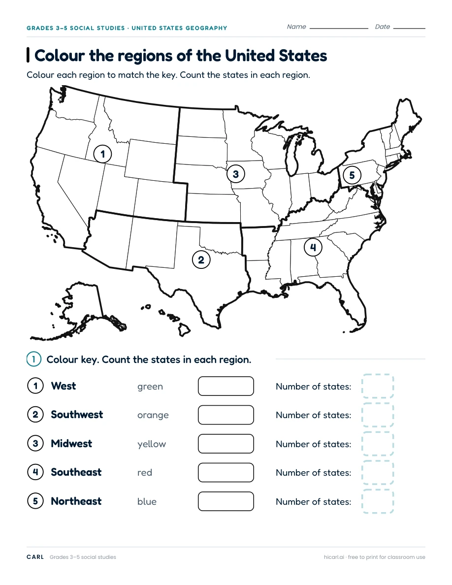
Colour the regions of the United States
Use this worksheet set's five-region map: Delaware and Maryland are in the Northeast, and Alaska and Hawaii are in the West. Other sources use different region boundaries.
Link to this worksheet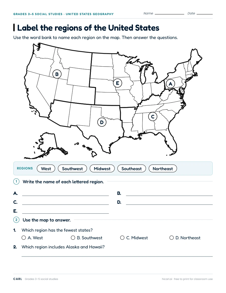
Label the regions of the United States
Use this worksheet set's five-region map: Delaware and Maryland are in the Northeast, and Alaska and Hawaii are in the West. Other sources use different region boundaries.
Link to this worksheet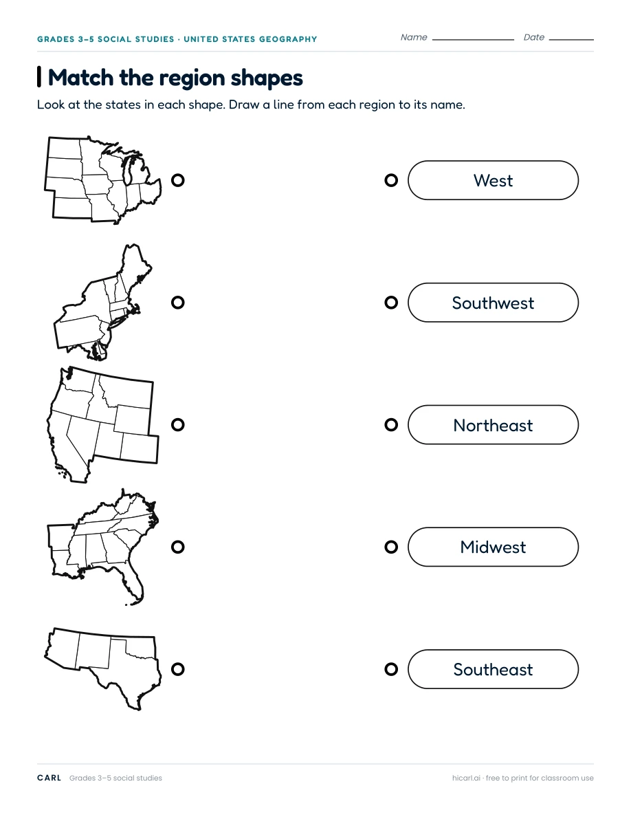
Match the region shapes: United States
Use this worksheet set's five-region map: Delaware and Maryland are in the Northeast, and Alaska and Hawaii are in the West. Other sources use different region boundaries. The western outline shows only the contiguous states.
Link to this worksheet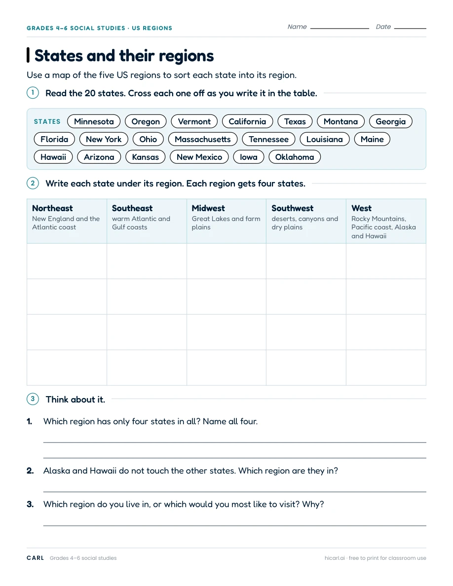
States and their regions
Use this worksheet set's five-region map: Delaware and Maryland are in the Northeast, and Alaska and Hawaii are in the West. Other sources use different region boundaries. Landscape descriptions give examples, not features of every place.
Link to this worksheet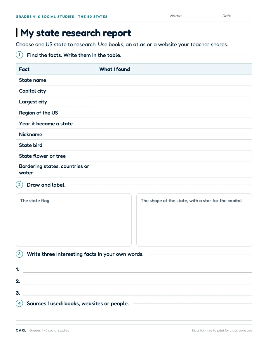
My state research report
Choose a state and record reliable sources. Define largest city by city-proper population and give the data year. Agree on a region map before researching.
Link to this worksheet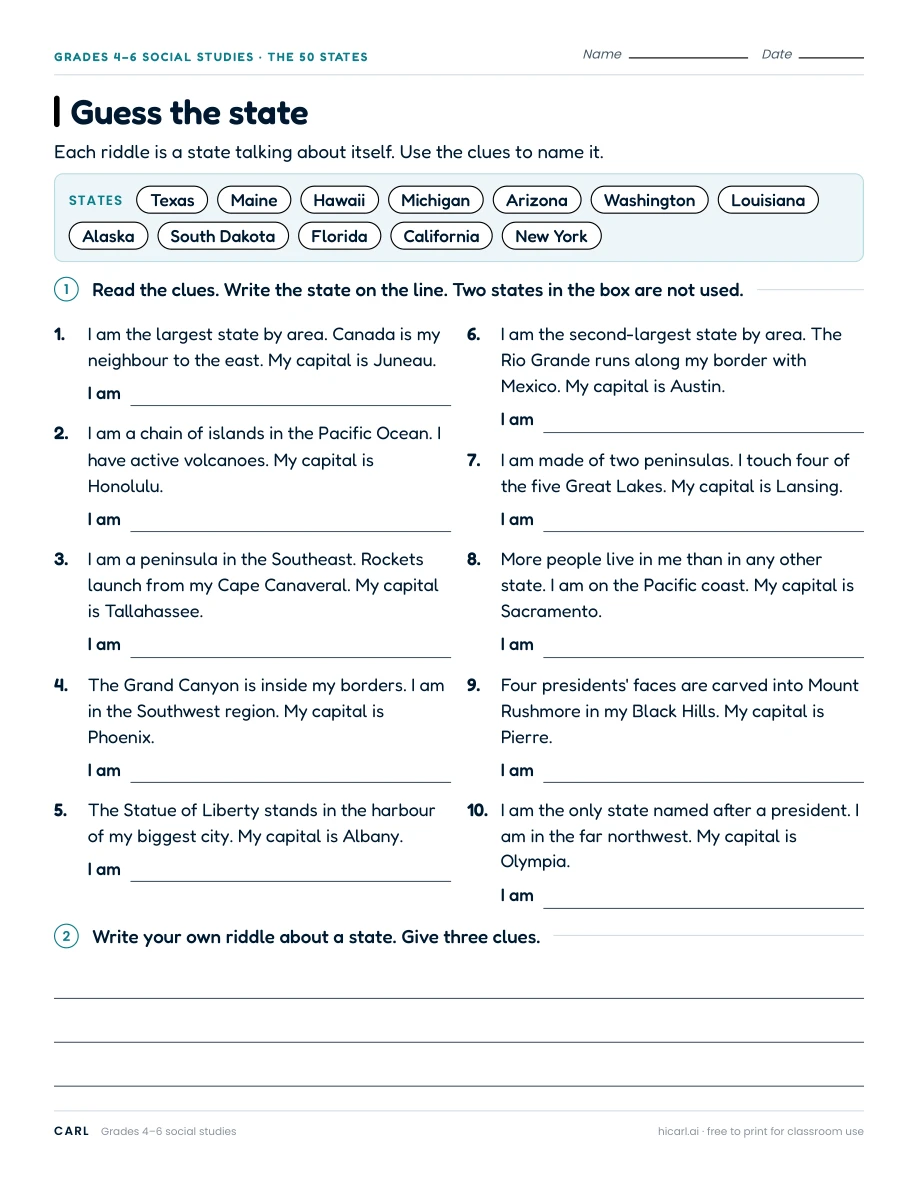
Guess the state
Solve each state riddle using an atlas. The Washington clue uses northwest within the contiguous United States.
Link to this worksheet